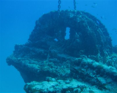
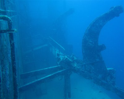
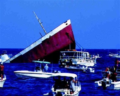
Pete Tide II (Wreck)
★★★★☆
(326)
Depth: 60-100ft GPS Location: Latitude 30 08.760′ N Longitude 87 14.020′W. The Pete Tide II is a 180′ former oil field supply boat that was sunk as an artificial reef in 1993.
The pilot house at the top of the structure sits at about 60′ with a max depth of around 100′. This fully intact wreck always has a plethora of marine life surrounding it.
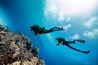
Dive Activity
Potential Wildlife Sightings
Wildlife Sightings are Based on User Generated Content
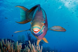
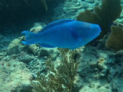
The image shown is a representative illustration and does not depict every individual animal in this category.
Total number of species approx.: 27
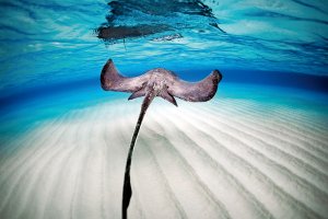
iStock-Global_Pics
16 Sightings
J
0
F
0
M
0
A
0
M
2
J
3
J
5
A
0
S
4
O
1
N
0
D
1
iStock-ShaneGross
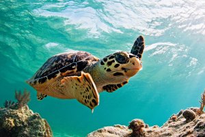
Loggerhead Turtle
2 Sightings
J
0
F
2
M
0
A
0
M
0
J
0
J
0
A
0
S
0
O
0
N
0
D
0
The image shown is a representative illustration and does not depict every individual animal in this category.
Total number of species approx.: 600
iStock/ultramarinfoto
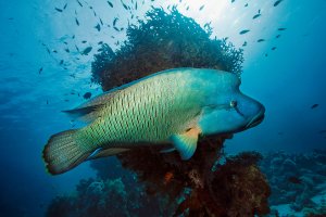
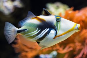
Wrasse
1 Sightings
J
0
F
0
M
0
A
0
M
1
J
0
J
0
A
0
S
0
O
0
N
0
D
0
The image shown is a representative illustration and does not depict every individual animal in this category.
Total number of species approx.: 250
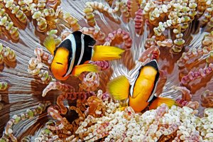
Shutterstock-Henry_and_Laura_Whittaker
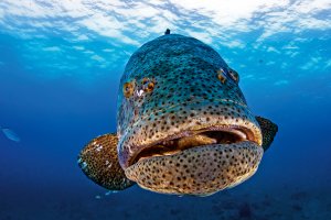
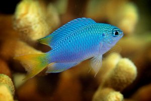
Grouper/Basslets
40 Sightings
J
0
F
4
M
0
A
2
M
2
J
7
J
16
A
0
S
4
O
0
N
1
D
4
The image shown is a representative illustration and does not depict every individual animal in this category.
Total number of species approx.: 90
Shutterstock-Rich Carey
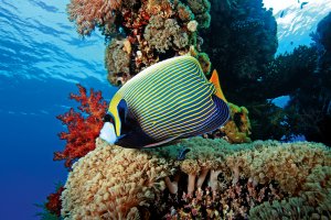
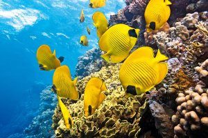
Angelfish
30 Sightings
J
0
F
2
M
0
A
0
M
3
J
6
J
12
A
5
S
0
O
0
N
0
D
2
The image shown is a representative illustration and does not depict every individual animal in this category.
Total number of species approx.: 12
iStock/cinoby
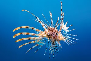
Lionfish
28 Sightings
J
0
F
5
M
0
A
0
M
2
J
5
J
8
A
0
S
0
O
1
N
1
D
6
The image shown is a representative illustration and does not depict every individual animal in this category.
Total number of species approx.: 40
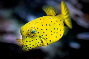
iStock-Hoatzinexp
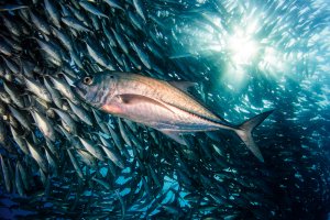
Jackfish
19 Sightings
J
0
F
2
M
0
A
0
M
2
J
3
J
8
A
0
S
0
O
0
N
0
D
4
The image shown is a representative illustration and does not depict every individual animal in this category.
Total number of species approx.: 110
iStock-Rainer von Brandis
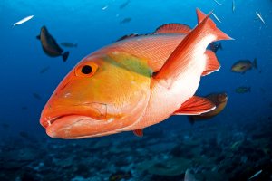
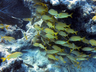
Snapper
12 Sightings
J
0
F
3
M
0
A
0
M
1
J
8
J
0
A
0
S
0
O
0
N
0
D
0
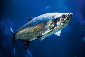
AdobeStock-_italo
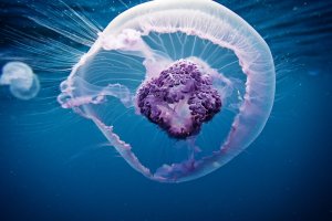
Moon Jellyfish
7 Sightings
J
0
F
0
M
0
A
0
M
0
J
0
J
0
A
4
S
3
O
0
N
0
D
0
The image shown is a representative illustration and does not depict every individual animal in this category.
Total number of species approx.: 50
istock-atese
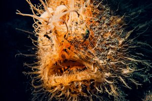
Frogfish
5 Sightings
J
0
F
0
M
0
A
0
M
0
J
0
J
5
A
0
S
0
O
0
N
0
D
0